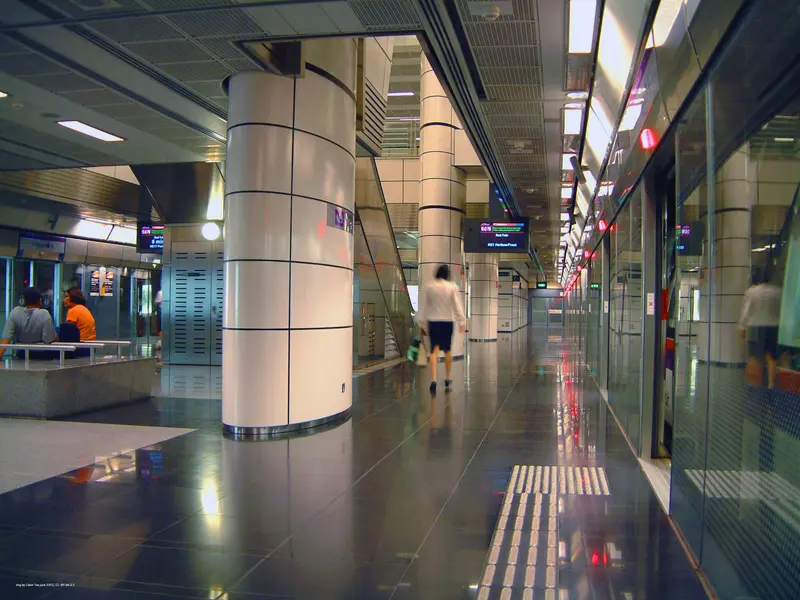
Which exit?
See on map-
Elim Church Singapore · Sri Lankaramaya Buddhist Temple +3
- Elim Church Singapore
- Sri Lankaramaya Buddhist Temple
- Whampoa Drive Blk 90 (Whampoa Drive Makan Place/Whampoa Food Centre)
- Whampoa Dragon Fountain
- Whampoa Drive Blk 91/92 (Whampoa Drive Makan Place/Whampoa Market)
This exit is the nearest one to these places, in a straight line from the exit. It is not what LTA’s signs say.
Show this exit in Google Maps -
Bendemeer Road Blk 29 (Bendemeer Market and Food Centre)
This exit is the nearest one to these places, in a straight line from the exit. It is not what LTA’s signs say.
Show this exit in Google Maps -
Central Sikh Temple
This exit is the nearest one to these places, in a straight line from the exit. It is not what LTA’s signs say.
Show this exit in Google Maps
3 exits · 3 with a map position · exits and positions: LTA
Right now at this station
Train service, lifts and crowds: LTA DataMall, live. Weather: NEA two-hour forecast (data.gov.sg), for the forecast area nearest the station.

Taxi stands near the exits
- Serangoon Rd outside Boon Keng NEL Station (Ent B)(opp Blk 102) Taxi stand · barrier-free
- Bendemeer Rd outside Blk 25/27 (Bendemeer Shopping Mall) Taxi stand · barrier-free
LTA DataMall Taxi Stands (Singapore Open Data Licence): stand or stop and barrier-free as LTA lists them. Distances are in a straight line from the exit.
Buses at the exits
Boon Keng Stn/Blk 102
- 13 to Yio Chu Kang Int…
- 23 to Tampines Int…
- 31 to Toa Payoh Int…
- 64 to Sims Pl Ter…
- 65 to Tampines Int…
- 125 to St. Michael's Ter…
All 11 services
- 133 to Ang Mo Kio Int…
- 140 to Lor 1 Geylang Ter…
- 147 to Hougang Ctrl Int…
- 857 to Yishun Int…
- 985 to Choa Chu Kang Int…
Boon Keng Stn/Blk 22
- 21 to Pasir Ris Int…
- 130 to Shenton Way Ter…
- 139 to Bt Merah Int…
Kwong Wai Shiu Hosp
- 13 to Yio Chu Kang Int…
- 23 to Tampines Int…
- 64 to Sims Pl Ter…
- 65 to Tampines Int…
- 125 to St. Michael's Ter…
- 133 to Ang Mo Kio Int…
All 9 services
- 140 to Lor 1 Geylang Ter…
- 147 to Hougang Ctrl Int…
- 857 to Yishun Int…
LTA DataMall Bus Stops and Bus Routes (read 2026-10-02) and Bus Arrival, Singapore Open Data Licence. Stops within 150 m of an exit, in a straight line. Arrival times are LTA's estimates; first and last buses are LTA's timetable for the stop.
Pharmacies, money changers and hotels
- National Healthcare Group Pharmacy (Kallang) Pharmacy
- Gap Year Hostel Hotel · 7 rooms
- The Hive Singapore Hostel Hotel · 13 rooms
- Moni Gallery Hostel Hotel · 9 rooms
Up to three of each within 400 m of an exit, nearest first, in a straight line. From the registers of HSA (pharmacies), MAS (money changers) and the Hotels Licensing Board, Singapore Open Data Licence. No hours, rates or prices: the registers carry none.
When it’s busy
Busiest from 18:00 to 19:00 on weekdays and from 18:00 to 19:00 on weekends and public holidays.
48th of 184 stations by taps in August 2026Taps in and out at this station's fare gates in each hour of August 2026, from LTA DataMall (Singapore Open Data Licence). Each row is drawn against its own busiest hour; the darker bar is now.
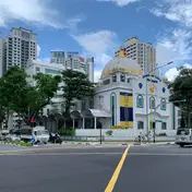 Central Sikh TempleTemple · 155 m, nearest exit C
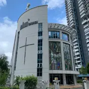 Elim Church SingaporeChurch · 579 m, nearest exit A
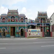 Sri Vadapathira Kaliamman TempleTemple · 606 m
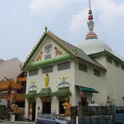 Sakya Muni Buddha Gaya TempleTemple · 751 mBalestier PlainHistoric site · 759 m
Within 800 m in a straight line from the station, not walking routes.
Hawker centres nearest this station
- Bendemeer Market and Food Centre
- Whampoa Drive Makan Place/Whampoa Food Centre
- Whampoa Drive Makan Place/Whampoa Market
Closures from NEA (data.gov.sg). Stall hours are each stall’s own. Distances are in a straight line from the exit.
Places to eat near the exits
- McDonald's
- KFC
- Boon Tong Kee
- D’Rubinah
- hwa heng beef noodle
- Selegie Soya Bean
- Laksa
- Subway
- Dignity Kitchen
- Keong Saik Bakery
- Yuan Xing
- Digital Kitchen
The 12 closest of 13 within 300 m of an exit, nearest first, in a straight line. Not a ranking, and hours are not shown: check before you go. Hawker centres are listed above, from NEA. · © OpenStreetMap contributors (ODbL), data as of 6 May 2026
Nearby stations
- Bendemeer Station 660 m
- Farrer Park Station 1.1 km
- Geylang Bahru Station 1.2 km
- Lavender Station 1.3 km
- Kallang Station 1.4 km
- Potong Pasir Station 1.6 km
Distances are in a straight line from this station, not walking routes.