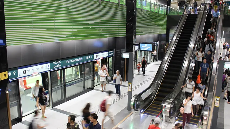
Which exit?
See on map-
United Engineers Limited · Ord Bridge +4
This exit is the nearest one to these places, in a straight line from the exit. It is not what LTA’s signs say.
Show this exit in Google Maps -
National Theatre · Sri Thendayuthapani Temple +2
This exit is the nearest one to these places, in a straight line from the exit. It is not what LTA’s signs say.
Show this exit in Google Maps
2 exits · 2 with a map position · exits and positions: LTA
Right now at this station
Train service, lifts and crowds: LTA DataMall, live. Weather: NEA two-hour forecast (data.gov.sg), for the forecast area nearest the station.

Taxi stands near the exits
- Clarke Quay outside Fort Canning DTL Station (towards River Valley) (Ent A) Taxi stand · barrier-free
- River Valley Rd outside Fort Canning DTL Station (towards Downtown) (Ent B) Taxi stand · barrier-free
- River Valley Rd at Liang Court Taxi stand · barrier-free
- Tan Tye Place at Clarke Quay Taxi stand · barrier-free
LTA DataMall Taxi Stands (Singapore Open Data Licence): stand or stop and barrier-free as LTA lists them. Distances are in a straight line from the exit.
Buses at the exits
Fort Canning Stn Exit B
- 32 to Bedok Int…
- 54 to Kampong Bahru Ter…
- 195 to Promenade Stn/Pan Pacific…
Opp UE Sq
- 64 to Sims Pl Ter…
- 123 to Beach Stn Ter…
- 143 to Jurong East Int…
Bef Fort Canning Stn
- 32 to Buona Vista Ter…
- 54 to Bishan Int…
- 195 to Promenade Stn/Pan Pacific…
- 195A to Tiong Bahru Stn/Plaza…
UE Sq
- 64 to Sims Pl Ter…
- 123 to Bt Merah Int…
- 143 to Toa Payoh Int…
LTA DataMall Bus Stops and Bus Routes (read 2026-10-02) and Bus Arrival, Singapore Open Data Licence. Stops within 150 m of an exit, in a straight line. Arrival times are LTA's estimates; first and last buses are LTA's timetable for the stop.
Pharmacies, money changers and hotels
- The Robertson House by The Crest Collection Hotel · 336 rooms
- Robertson Quay Hotel Hotel · 148 rooms
- Hotel Fort Canning Hotel · 86 rooms
Up to three of each within 400 m of an exit, nearest first, in a straight line. From the registers of HSA (pharmacies), MAS (money changers) and the Hotels Licensing Board, Singapore Open Data Licence. No hours, rates or prices: the registers carry none.
When it’s busy
Busiest from 18:00 to 19:00 on weekdays and from 18:00 to 19:00 on weekends and public holidays.
115th of 184 stations by taps in August 2026Taps in and out at this station's fare gates in each hour of August 2026, from LTA DataMall (Singapore Open Data Licence). Each row is drawn against its own busiest hour; the darker bar is now.
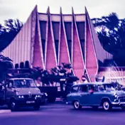 National TheatreTheatre and venue · 116 m, nearest exit BUnited Engineers LimitedHistoric site · 148 m, nearest exit A
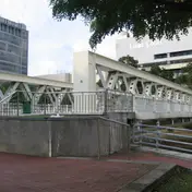 Ord BridgeBridge · 176 m, nearest exit A
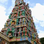 Sri Thendayuthapani TempleTemple · 235 m, nearest exit B
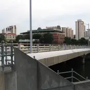 Clemenceau BridgeBridge · 291 m, nearest exit A
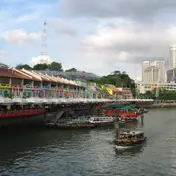 Clarke QuayQuays and piers · 330 m
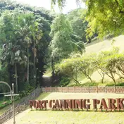 Fort Canning HillPark and garden · 369 m, nearest exit B
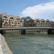 Read BridgeBridge · 375 m
Within 800 m in a straight line from the station, not walking routes.
Places to eat near the exits
- GREYBOX COFFEE
- Tiong Bahru Bakery
- Starbucks
- Fish & Bones
- Lean & Rich
- Caffe Italia
- Luckin Coffee
- MOC Quan
- Dutch Colony Coffee
- Fu yuan
- Zorba The Greek Taverna
- White Rabbit Cafe
The 12 closest of 31 within 300 m of an exit, nearest first, in a straight line. Not a ranking, and hours are not shown: check before you go. · © OpenStreetMap contributors (ODbL), data as of 6 May 2026
Nearby stations
- Clarke Quay Station 460 m
- Dhoby Ghaut Station 720 m
- Bras Basah Station 850 m
- Chinatown Station 910 m
- City Hall Station 920 m
- Bencoolen Station 950 m
Distances are in a straight line from this station, not walking routes.