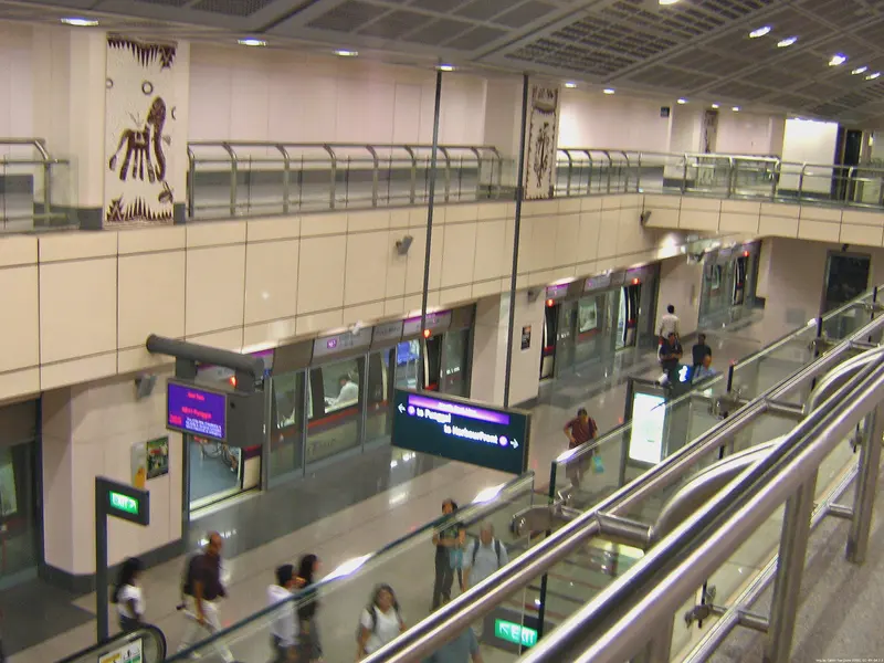
Which exit?
See on map-
St. Margaret's School
This exit is the nearest one to these places, in a straight line from the exit. It is not what LTA’s signs say.
Show this exit in Google Maps -
Bus stop Little India Stn · 26 m
- Little India Stn
- Little India Stn Exit A
Places in a straight line from this exit: LTA’s bus stops, the hotel, pharmacy and money changer registers, and OpenStreetMap’s places to eat. It is not what LTA’s signs say.
Show this exit in Google Maps -
Buffalo Road Blk 665 (Tekka Centre/Zhu Jiao Market)
This exit is the nearest one to these places, in a straight line from the exit. It is not what LTA’s signs say.
Show this exit in Google Maps -
Kandang Kerbau Hospital
This exit is the nearest one to these places, in a straight line from the exit. It is not what LTA’s signs say.
Show this exit in Google Maps -
Sri Veeramakaliamman Temple
This exit is the nearest one to these places, in a straight line from the exit. It is not what LTA’s signs say.
Show this exit in Google Maps -
Former Kandang Kerbau Hospital · The Istana and Sri Temasek
This exit is the nearest one to these places, in a straight line from the exit. It is not what LTA’s signs say.
Show this exit in Google Maps
6 exits · 6 with a map position · exits and positions: LTA
Right now at this station
Train service, lifts and crowds: LTA DataMall, live. Weather: NEA two-hour forecast (data.gov.sg), for the forecast area nearest the station.

Taxi stands near the exits
- Bukit Timah Rd outside Little India NEL Station (Ent A) Taxi stand · barrier-free
- Race Course Rd outside Little India NEL Station (Ent C) (outside Blk 661) Taxi stand · barrier-free
- Hastings Rd at Tekka Place Taxi stand · barrier-free
- Short St near La Salle Arts College Taxi stand · barrier-free
LTA DataMall Taxi Stands (Singapore Open Data Licence): stand or stop and barrier-free as LTA lists them. Distances are in a straight line from the exit.
Buses at the exits
Little India Stn
- 48 to Bedok Nth Depot…
- 56 to Promenade Stn/Pan Pacific…
- 57 to Bt Merah Int…
- 67 to Tampines Int…
- 131 to Bt Merah Int…
- 131A to Aft Straits Blvd…
All 13 services
- 166 to Clementi Int…
- 170 to Queen St Ter…
- 851 to Bt Merah Int…
- 851e to Aft Duxton Plain PkExpress…
- 960 to Promenade Stn/Pan Pacific…
- 960e to Promenade Stn/Pan PacificExpress…
- 980 to Lor 1 Geylang Ter…
Little India Stn Exit A
- 48 to Buona Vista Ter…
- 56 to Bishan Int…
- 57 to Bishan Int…
- 67 to Choa Chu Kang Int…
- 166 to Ang Mo Kio Int…
- 170 to Larkin Ter…
All 11 services
- 851 to Yishun Int…
- 851e to Yishun IntExpress…
- 960 to Woodlands Int…
- 960e to Woodlands IntExpress…
- 980 to Sembawang Int…
Express services cost more: bus fares.
LTA DataMall Bus Stops and Bus Routes (read 2026-10-02) and Bus Arrival, Singapore Open Data Licence. Stops within 150 m of an exit, in a straight line. Arrival times are LTA's estimates; first and last buses are LTA's timetable for the stop.
Pharmacies, money changers and hotels
- KK Emergency Pharmacy Pharmacy
- KK Outpatient Pharmacy Pharmacy
- BABY MONEY CHANGERS Money changer
- MONISHA EXCHANGE Money changer
- I K I EXCHANGE PTE. LTD. Money changer
- Check-Inn @Little India Hotel · 31 rooms
- Dash Living on Mackenzie Hotel · 40 rooms
- G4 Station Backpackers Hostel Hotel · 23 rooms
Up to three of each within 400 m of an exit, nearest first, in a straight line. From the registers of HSA (pharmacies), MAS (money changers) and the Hotels Licensing Board, Singapore Open Data Licence. No hours, rates or prices: the registers carry none.
When it’s busy
Busiest from 18:00 to 19:00 on weekdays and from 18:00 to 19:00 on weekends and public holidays.
35th of 184 stations by taps in August 2026Taps in and out at this station's fare gates in each hour of August 2026, from LTA DataMall (Singapore Open Data Licence). Each row is drawn against its own busiest hour; the darker bar is now.
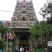 Sri Veeramakaliamman TempleTemple · 249 m, nearest exit E
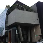 Indian Heritage CentreMuseum · 341 m
 Kampong Kapor Methodist ChurchChurch · 412 m
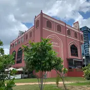 Angullia MosqueMosque · 525 m
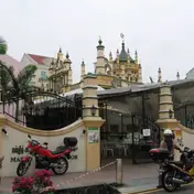 Abdul Gafoor MosqueMosque · 539 m
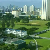 Farrer ParkPark and garden · 553 m
Within 800 m in a straight line from the station, not walking routes.
Hawker centres nearest this station
Closures from NEA (data.gov.sg). Stall hours are each stall’s own. Distances are in a straight line from the exit.
Places to eat near the exits
- Chaat's Corner
- Dheli 6
- Mr. Uncle & Auntie
- Fifth Season
- Madras Coffeehouse
- Andhra Curry
- Amaravati Restaurant
- Mustard
- Jaggi's Northern Indian Cuisine
- Indian Express
- Arunachala Bhavan
- Kudai Canteen Tamil Food
The 12 closest of 72 within 300 m of an exit, nearest first, in a straight line. Not a ranking, and hours are not shown: check before you go. Hawker centres are listed above, from NEA. · © OpenStreetMap contributors (ODbL), data as of 6 May 2026
Nearby stations
- Rochor Station 510 m
- Jalan Besar Station 640 m
- Farrer Park Station 700 m
- Bugis Station 1.0 km
- Bencoolen Station 1.0 km
- Dhoby Ghaut Station 1.1 km
Distances are in a straight line from this station, not walking routes.