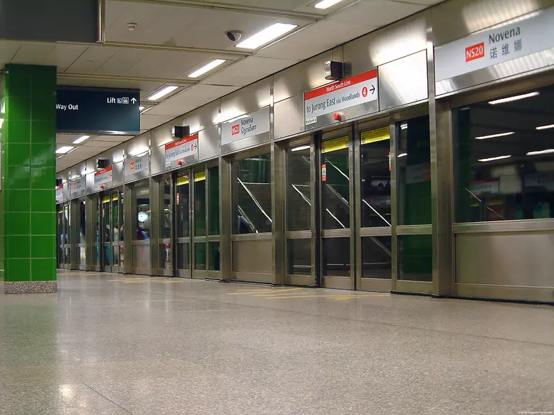
Which exit?
See on map-
Tan Tock Seng Hospital · Novena Church
This exit is the nearest one to these places, in a straight line from the exit. It is not what LTA’s signs say.
Show this exit in Google Maps -
Masjid Abdul Hamid
This exit is the nearest one to these places, in a straight line from the exit. It is not what LTA’s signs say.
Show this exit in Google Maps
2 exits · 2 with a map position · exits and positions: LTA
Right now at this station
Train service, lifts and crowds: LTA DataMall, live. Weather: NEA two-hour forecast (data.gov.sg), for the forecast area nearest the station.

Buses at the exits
Novena Stn
- 21 to Pasir Ris Int…
- 56 to Promenade Stn/Pan Pacific…
- 57 to Bt Merah Int…
- 131 to Bt Merah Int…
- 131A to Aft Straits Blvd…
- 141 to Lor 1 Geylang Ter…
All 10 services
- 166 to Clementi Int…
- 456 to St. Michael's Ter…
- 851 to Bt Merah Int…
- 980 to Lor 1 Geylang Ter…
LTA DataMall Bus Stops and Bus Routes (read 2026-10-02) and Bus Arrival, Singapore Open Data Licence. Stops within 150 m of an exit, in a straight line. Arrival times are LTA's estimates; first and last buses are LTA's timetable for the stop.
Pharmacies, money changers and hotels
- Watson's Personal Care Stores Pte Ltd (Novena Square) Pharmacy
- Guardian Pharmacy (Novena Square) Pharmacy
- Unity By Fairprice (UNVS) Novena Square Pharmacy
- 12 HRS MONEY EXCHANGER Money changer
- ALIZIA GIFT HOUSE Money changer
- HOTEL ROYAL LIMITED Money changer
- Courtyard By Marriott Singapore Novena Hotel · 250 rooms
- Oasia Hotel Novena, Singapore Hotel · 428 rooms
- Hotel Royal Hotel · 362 rooms
Up to three of each within 400 m of an exit, nearest first, in a straight line. From the registers of HSA (pharmacies), MAS (money changers) and the Hotels Licensing Board, Singapore Open Data Licence. No hours, rates or prices: the registers carry none.
When it’s busy
Busiest from 08:00 to 09:00 on weekdays and from 13:00 to 14:00 on weekends and public holidays.
24th of 184 stations by taps in August 2026Taps in and out at this station's fare gates in each hour of August 2026, from LTA DataMall (Singapore Open Data Licence). Each row is drawn against its own busiest hour; the darker bar is now.
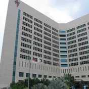 Tan Tock Seng HospitalHistoric site · 131 m, nearest exit A
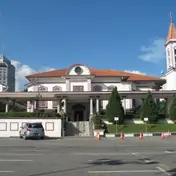 Novena ChurchChurch · 178 m, nearest exit A
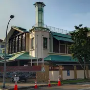 Masjid Abdul HamidMosque · 317 m, nearest exit B
Within 800 m in a straight line from the station, not walking routes.
Places to eat near the exits
- Chicha San Chen
- Din Tai Fung
- Dim Sum Shop
- Sushiro
- Lao Beijing
- Xin Wang Hong Kong Cafe
- Fish & Co.
- OldTown White Coffee
- Ichiban Boshi
- The Soup Spoon
- Old Chang Kee
- Once Upon A Thyme
The 12 closest of 105 within 300 m of an exit, nearest first, in a straight line. Not a ranking, and hours are not shown: check before you go. · © OpenStreetMap contributors (ODbL), data as of 6 May 2026
Nearby stations
- Newton Station 1.1 km
- Toa Payoh Station 1.4 km
- Farrer Park Station 1.5 km
- Little India Station 1.6 km
- Caldecott Station 2.0 km
- Stevens Station 2.0 km
Distances are in a straight line from this station, not walking routes.