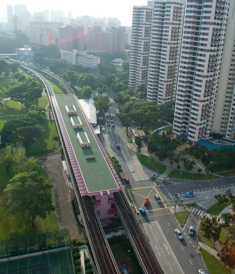
Which exit?
See on map-
Masjid Jamek Queenstown · Bukit Merah Central Blk 163 (Bukit Merah Central Food Centre) +2
- Masjid Jamek Queenstown
- Bukit Merah Central Blk 163 (Bukit Merah Central Food Centre)
- Sri Ruthra Kaliamman Temple
- Telok Blangah Hill Park
This exit is the nearest one to these places, in a straight line from the exit. It is not what LTA’s signs say.
Show this exit in Google Maps -
Redhill Lane Blk 79 (Redhill Market) · Redhill Lane Blk 85 (Redhill Food Centre) +2
- Redhill Lane Blk 79 (Redhill Market)
- Redhill Lane Blk 85 (Redhill Food Centre)
- Masjid Jamiyah Ar-Rabitah
- Phoenix Park
This exit is the nearest one to these places, in a straight line from the exit. It is not what LTA’s signs say.
Show this exit in Google Maps
2 exits · 2 with a map position · exits and positions: LTA
Right now at this station
Train service, lifts and crowds: LTA DataMall, live. Weather: NEA two-hour forecast (data.gov.sg), for the forecast area nearest the station.

Taxi stands near the exits
- Tiong Bahru Rd outside Redhill MRT Station Taxi stand · barrier-free
LTA DataMall Taxi Stands (Singapore Open Data Licence): stand or stop and barrier-free as LTA lists them. Distances are in a straight line from the exit.
Buses at the exits
Redhill Stn
- 32 to Bedok Int…
- 33 to Bedok Int…
- 33A to Blk 1…
- 64 to Sims Pl Ter…
- 120 to Kampong Bahru Ter…
- 132 to Bt Merah Int…
All 8 services
- 145 to Toa Payoh Int…
- 145A to Blk 1…
Opp Redhill Stn
- 32 to Buona Vista Ter…
- 33 to Kent Ridge Ter…
- 64 to Sims Pl Ter…
- 120 to Kampong Bahru Ter…
- 132 to Hougang Ctrl Int…
- 145 to Buona Vista Ter…
LTA DataMall Bus Stops and Bus Routes (read 2026-10-02) and Bus Arrival, Singapore Open Data Licence. Stops within 150 m of an exit, in a straight line. Arrival times are LTA's estimates; first and last buses are LTA's timetable for the stop.
When it’s busy
Busiest from 18:00 to 19:00 on weekdays and from 17:00 to 18:00 on weekends and public holidays.
59th of 184 stations by taps in August 2026Taps in and out at this station's fare gates in each hour of August 2026, from LTA DataMall (Singapore Open Data Licence). Each row is drawn against its own busiest hour; the darker bar is now.
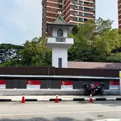 Masjid Jamek QueenstownMosque · 384 m, nearest exit A
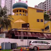 Masjid Jamiyah Ar-RabitahMosque · 399 m, nearest exit BGan Eng Seng SchoolHistoric site · 771 m
Within 800 m in a straight line from the station, not walking routes.
Hawker centres nearest this station
- Redhill Market Michelin Bib Gourmand: Fu Ming Cooked Food
- Redhill Food Centre Michelin Bib Gourmand: Jia Xiang, Wok Hei Hor Fun
- Bukit Merah Central Food Centre
Closures from NEA (data.gov.sg). Stall hours are each stall’s own. Distances are in a straight line from the exit.
Places to eat near the exits
- Makcik Can Cook
- Thousand Taste
- Lao Ban
- Selera Nasi Padang
- Mr Bean
- Ya Kun Kaya Toast
- Ba Wang Cha Ji
- 老曾记 Old Chang Kee
- Hayashi
- Burger King
- Subway
- Teh Tarik Express
The 12 closest of 24 within 300 m of an exit, nearest first, in a straight line. Not a ranking, and hours are not shown: check before you go. Hawker centres are listed above, from NEA. · © OpenStreetMap contributors (ODbL), data as of 6 May 2026
Nearby stations
- Tiong Bahru Station 1.2 km
- Queenstown Station 1.3 km
- Orchard Boulevard Station 1.6 km
- Havelock Station 1.9 km
- Napier Station 1.9 km
- Great World Station 1.9 km
Distances are in a straight line from this station, not walking routes.