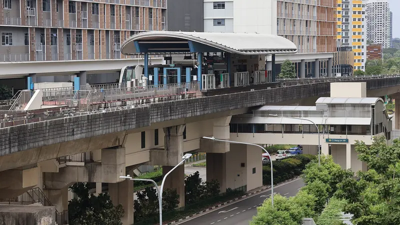
Which exit?
See on map-
Aunty Rosie · 65 m
- Aunty Rosie
- Mr Bean
Places in a straight line from this exit: LTA’s bus stops, the hotel, pharmacy and money changer registers, and OpenStreetMap’s places to eat. It is not what LTA’s signs say.
Show this exit in Google Maps -
Subway · 54 m
- Subway
- Opp Sengkang General Hosp
Places in a straight line from this exit: LTA’s bus stops, the hotel, pharmacy and money changer registers, and OpenStreetMap’s places to eat. It is not what LTA’s signs say.
Show this exit in Google Maps
2 exits · 2 with a map position · exits and positions: LTA
Right now at this station
Train service, lifts and crowds: LTA DataMall, live. Weather: NEA two-hour forecast (data.gov.sg), for the forecast area nearest the station.

Buses at the exits
Opp Sengkang General Hosp
- 43 to Upp East Coast Ter…
- 43A to S'goon Stn Exit C/Blk 201…
- 43e to Marine Pde Stn Exit 4Express…
- 83 to Punggol Int…
- 83T to Sengkang Int…
- 104 to Woodleigh Int…
All 9 services
- 109 to Serangoon Int…
- 119 to Punggol Int…
- 374 to Compassvale Int…
Express services cost more: bus fares.
LTA DataMall Bus Stops and Bus Routes (read 2026-10-02) and Bus Arrival, Singapore Open Data Licence. Stops within 150 m of an exit, in a straight line. Arrival times are LTA's estimates; first and last buses are LTA's timetable for the stop.
Pharmacies, money changers and hotels
Up to three of each within 400 m of an exit, nearest first, in a straight line. From the registers of HSA (pharmacies), MAS (money changers) and the Hotels Licensing Board, Singapore Open Data Licence. No hours, rates or prices: the registers carry none.
When it’s busy
Busiest from 07:00 to 08:00 on weekdays and from 12:00 to 13:00 on weekends and public holidays.
175th of 184 stations by taps in August 2026Taps in and out at this station's fare gates in each hour of August 2026, from LTA DataMall (Singapore Open Data Licence). Each row is drawn against its own busiest hour; the darker bar is now.
Places to eat near the exits
The 9 closest of 9 within 300 m of an exit, nearest first, in a straight line. Not a ranking, and hours are not shown: check before you go. · © OpenStreetMap contributors (ODbL), data as of 6 May 2026
Nearby stations
- Farmway Station 510 m
- Sengkang Station 550 m
- Compassvale Station 770 m
- Soo Teck Station 1.1 km
- Renjong Station 1.1 km
- Tongkang Station 1.2 km
Distances are in a straight line from this station, not walking routes.