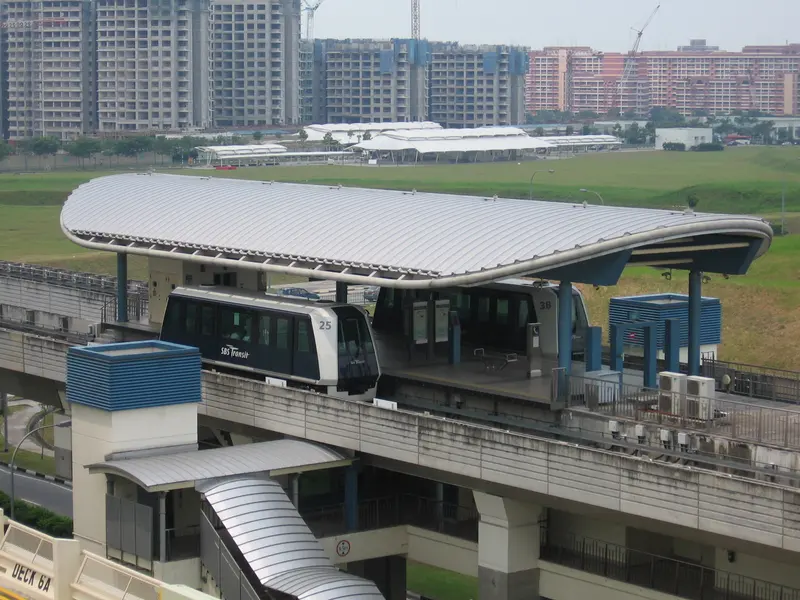
Which exit?
See on map-
Institute of Mental Health
This exit is the nearest one to these places, in a straight line from the exit. It is not what LTA’s signs say.
Show this exit in Google Maps -
Anchorvale 303 Foodcourt · 39 m
- Anchorvale 303 Foodcourt
- Renjong Stn Exit B
Places in a straight line from this exit: LTA’s bus stops, the hotel, pharmacy and money changer registers, and OpenStreetMap’s places to eat. It is not what LTA’s signs say.
Show this exit in Google Maps
2 exits · 2 with a map position · exits and positions: LTA
Right now at this station
Train service, lifts and crowds: LTA DataMall, live. Weather: NEA two-hour forecast (data.gov.sg), for the forecast area nearest the station.

Buses at the exits
Renjong Stn Exit A
- 163 to Toa Payoh Int…
- 163A to Bef Sengkang West Rd…
- 163B to Aft Lentor Stn Exit 4…
- 677 to Blk 111…
Renjong Stn Exit B
- 163 to Sengkang Int…
- 677 to Suntec Twr Two…
- SWA to Sengkang Int…
Aft Sengkang East Ave
- 109 to Serangoon Int…
- 156 to Clementi Int…
- 159 to Toa Payoh Int…
- 159A to Bef Ang Mo Kio Stn Exit B…
- 161 to Hougang Ctrl Int…
LTA DataMall Bus Stops and Bus Routes (read 2026-10-02) and Bus Arrival, Singapore Open Data Licence. Stops within 150 m of an exit, in a straight line. Arrival times are LTA's estimates; first and last buses are LTA's timetable for the stop.
When it’s busy
Busiest from 07:00 to 08:00 on weekdays and from 14:00 to 15:00 on weekends and public holidays.
180th of 184 stations by taps in August 2026Taps in and out at this station's fare gates in each hour of August 2026, from LTA DataMall (Singapore Open Data Licence). Each row is drawn against its own busiest hour; the darker bar is now.
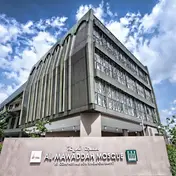
Within 800 m in a straight line from the station, not walking routes.
Places to eat near the exits
The 1 closest of 1 within 300 m of an exit, nearest first, in a straight line. Not a ranking, and hours are not shown: check before you go. · © OpenStreetMap contributors (ODbL), data as of 6 May 2026
Nearby stations
- Buangkok Station 530 m
- Tongkang Station 580 m
- Sengkang Station 770 m
- Ranggung Station 850 m
- Cheng Lim Station 1.1 km
- Farmway Station 1.2 km
Distances are in a straight line from this station, not walking routes.